

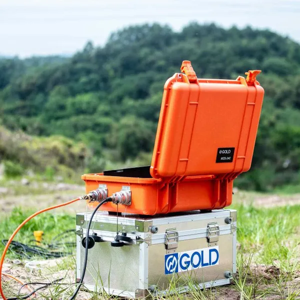
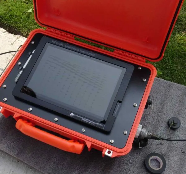
Seismic Investigation for Dam Safety Seismic Anisotropy Measurement System Offshore Seismic Data Acquisition Kit


Related Products
-
 Mineral Exploration Data Interpretation Geophysical Prospecting Consulting Service Underground Cavity Detection SystemNegotiableMOQ: 1 Set
 -
Multi Functional Pipe Inspection Camera Wireless Drain Inspection Camera Monitor High Pressure Waterproof Borehole CameraNegotiableMOQ: 1 Set
-
Resistivity Cable Testing System Time Domain IP Measurement SystemNegotiableMOQ: 1 Set
-
Passive Source Seismic Sensor Borehole Seismic Sensor Node Seismic Sensor for Dam MonitoringUS$ 500MOQ: 1 Set
-
ARM FPGA Data Acquisition System Remote Reference MT Station IP Resistivity Imaging EquipmentNegotiableMOQ: 1 Set
The Smart Region and Integrated Watershed Management Nexus
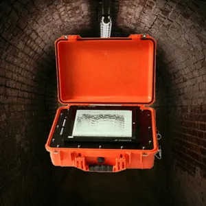
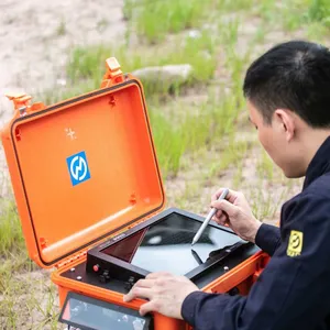
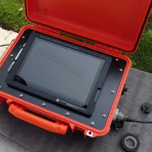
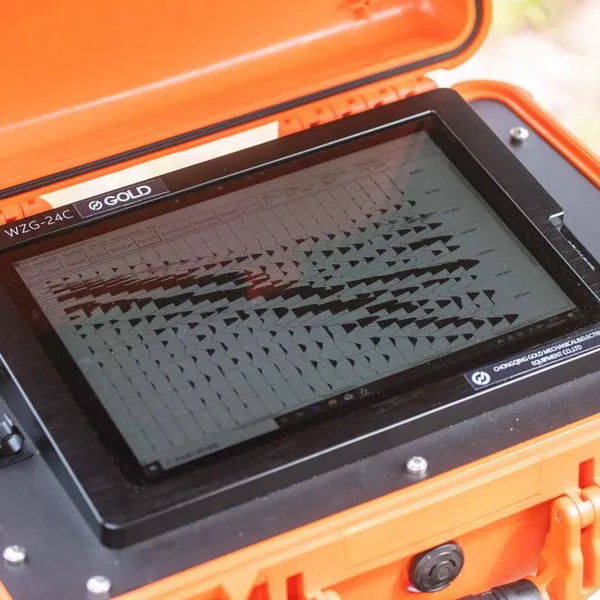
WZG-24C/48C: Orchestrating Human and Natural Systems Through Subsurface Intelligence
Governing the Interconnected Landscape from the Bedrock Up
The challenges of the 21st century—water security, sustainable agriculture, urban resilience, and ecosystem preservation—cannot be managed within siloed political or disciplinary boundaries. They are interconnected system-wide issues, and their solutions lie in understanding the shared subsurface that binds the landscape together. The WZG-24C/48C evolves into the central data nexus for smart region and watershed-scale management, providing planners, environmental agencies, and regional governments with a unified, dynamic 3D model of the critical zone. This model enables a shift from fragmented, reactive policy to holistic, predictive stewardship of both human and natural capital across entire regions.
The Watershed as a Hydrological Unit: Mapping the Full Water Cycle
A watershed’s health is determined underground. The WZG-24C/48C enables the creation of a regional-scale “hydro-geophysical” map. This integrates data on aquifer geometry, groundwater recharge zones, soil moisture distribution, and the bedrock controls on surface water flow. With this intelligence, managers can answer fundamental questions: Where does rainfall actually go? Which agricultural areas are most prone to nitrate leaching into aquifers? How will a new suburban development affect the baseflow of a downstream river? This allows for evidence-based allocation of water rights, the design of targeted conservation incentives for farmers over key recharge areas, and the strategic placement of constructed wetlands for natural water filtration, all based on a shared understanding of the subsurface hydrologic system.
Balancing Development, Agriculture, and Natural Capital
Regional growth often pits farmland against subdivisions, and infrastructure against habitats. The WZG-24C/48C provides a neutral, scientific framework for land-use planning. By identifying regions of prime agricultural soil (deep, stable, well-drained) versus areas more suitable for development (with stable bedrock closer to surface), it can guide growth while preserving food production capacity. It can map habitats reliant on groundwater (e.g., fens, springs) to protect them from pumping drawdown. Furthermore, it can monitor the regional impact of aggregate mining or geothermal development, ensuring these activities do not destabilize the broader geological framework or interconnect previously separated aquifers.
Technical Specifications for Regional-Scale Management
| Smart Region Management Feature | Integrated Watershed & Land-Use Governance Benefit |
|---|---|
| Regional Aquifer Characterization and Recharge Potential Mapping | Provides the foundational hydrogeological model for sustainable groundwater management across jurisdictions. |
| Land Suitability and Capability Classification | Classifies land based on subsurface properties for optimized use in agriculture, development, or conservation. |
| Pollutant Transport Pathway and Vulnerability Analysis | Models how contaminants move through the subsurface to prioritize protection of critical drinking water sources. |
| Multi-Stakeholder Data Portal and Visualization Suite | Offers tiered access to policymakers, farmers, developers, and the public with tailored data views and tools. |
| Climate Change Impact Scenario Modeling | Uses the subsurface model to project impacts of drought or intense rainfall on groundwater, slopes, and foundations. |
| Infrastructure Corridor Regional Impact Assessment | Evaluates the cumulative subsurface impact of linear infrastructure (roads, rail, pipelines) at a watershed scale. |
| Ecosystem Services Valuation Data Support | Provides the physical subsurface data needed to quantify services like water purification, flood mitigation, and carbon sequestration. |
Enabling Adaptive Management and Climate Resilience
Static maps are insufficient in a changing climate. The WZG-24C/48C network supports adaptive management through continuous monitoring. It can track the inland migration of saltwater intrusion in coastal watersheds, monitor the drying of hillslopes increasing wildfire and landslide risk, and measure the subsidence of delta regions. This real-time data allows policies and investments to be dynamically adjusted. For example, if monitoring shows a key recharge area is losing infiltration capacity, conservation programs can be intensified there immediately, not years later when wells run dry.
Fostering Collaborative Governance Through Shared Truth
Perhaps its most powerful role is as a platform for collaborative governance. By providing all stakeholders—municipalities, counties, farmers, indigenous communities, industries—with access to the same authoritative subsurface model, it creates a shared foundation of fact. Disputes over water, land use, or environmental impact can move from ideological debate to data-informed negotiation. Planning commissions can make transparent decisions. In this role, the WZG-24C/48C transcends its technological function to become a catalyst for a new form of intelligent, cooperative regional stewardship, where the hidden structure of the land becomes the common blueprint for a sustainable and resilient future for all who depend upon it.

Send Inquiry to This Supplier


You May Also Like
-
4-20mA Water Level Transmitter Sewage Level Sensor Liquid Level SwitchNegotiableMOQ: 1 Piece
-
SP Measurement System VES Resistivity Survey KitNegotiableMOQ: 1 Set
-
Seismic Impact System Geotechnical Seismic Source Surface Wave Seismic SourceUS$ 500MOQ: 1 Set
-
Geomagnetic Field Instrument High Speed Magnetometer Magnetic Field SensorNegotiableMOQ: 1 Set
-
Portable Logging Winch 3000m Logging Winch Borehole Downhole Logging WinchNegotiableMOQ: 1 Piece
-
Sewer Crawler Camera Price High Temp Borehole CameraNegotiableMOQ: 1 Set
-
Hydrostatic Level Sensor for Closed Tank Slurry Level Measurement SensorNegotiableMOQ: 1 Piece
-
Spectral IP Resistivity Imaging System Dual Mode IP/Resistivity SystemNegotiableMOQ: 1 Set
-
24 Channel Geophone Cable for MASW Mueller Takeout Seismic WireNegotiableMOQ: 1 Set
-
Marine Electromagnetic Receiver Geophysical Data Acquisition SystemNegotiableMOQ: 1 Set
