

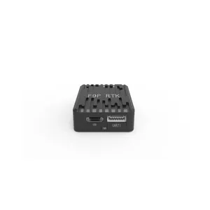
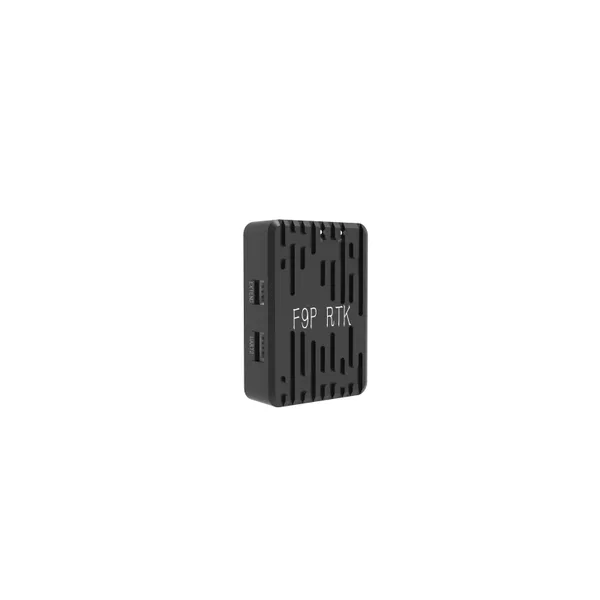
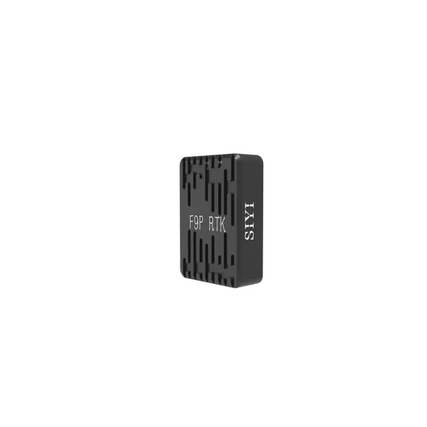
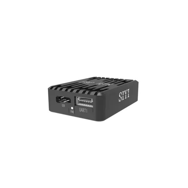
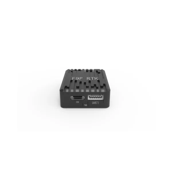
GeoAccurate F9P RTK Base Station Positioning Module


Related Products
-
 GeoAccurate F9P RTK Rover Positioning ModuleUS$ 514 - 549MOQ: 1 Set
 -
N7 Autopilot Flight CoreUS$ 429 - 489MOQ: 1 Piece
-
N7 Flight Controller + Power + GPS Integrated SetUS$ 559 - 579MOQ: 1 Set
-
Siyi RTK Positioning & Orientation ModuleUS$ 419 - 459MOQ: 1 Piece
-
PowerCore Hall Effect Power ModuleUS$ 71 - 89MOQ: 1 Piece
GeoAccurate F9P RTK Base Station Positioning Module - Product Description
Model Number: GeoAccurate F9P RTK Base Station Positioning ModuleCore Positioning: A high-precision GNSS positioning reference device that provides stable positioning references for mobile operation terminals in surveying and mapping, agriculture, infrastructure construction and other fields, improving the overall operation accuracy and efficiency.
I. Core Advantages
-
Centimeter-level Reference Positioning with Accurate and Reliable Data
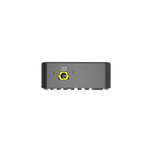
Equipped with a high-performance F9P positioning chip, it supports multi-constellation and multi-frequency signal reception including GPS, BDS, GLONASS and Galileo, and can output high-precision positioning data at the centimeter level. As the base station of the RTK system, it can transmit differential correction data to the rover station in real time, greatly reducing the positioning error of the rover station and meeting the high-precision operation requirements such as engineering lofting and topographic surveying.
-
Stable Operation in Multiple Scenarios with Strong Anti-interference Ability
Built-in anti-interference algorithms can effectively resist the impacts of urban electromagnetic interference, mountain multipath effects and other factors, and maintain stable signal output even in complex environments. It supports both static and dynamic working modes, which can not only serve as a fixed base station for long-term operation, but also be flexibly deployed for mobile use, adapting to the temporary measurement needs of different operation scenarios.
-
Rapid Deployment with Convenient and Efficient Operation
Adopting an integrated design, it is compact in size and simple in installation process. It can be quickly set up on-site with a portable bracket. Equipped with a visual operation interface, it supports one-click startup and automatic parameter configuration. Equipment debugging can be completed without professional technicians, greatly shortening the operation preparation time.
-
High Durability for Harsh Working Conditions
The shell is made of high-strength alloy material with IP67 dustproof and waterproof rating, which can withstand harsh outdoor environments such as rainy days, sand and dust, and high temperatures. The operating temperature range covers -40℃ ~ +85℃, with long-lasting battery life. It supports dual power supply modes of external power supply and built-in battery, ensuring all-weather continuous operation.
II. Application Scenarios
Surveying and Mapping Engineering: Provide accurate positioning references for topographic surveying, cadastral surveying, road lofting and other operations.
Smart Agriculture: Cooperate with agricultural machinery automatic driving systems to achieve high-precision positioning references for variable-rate farm operations.
Infrastructure Construction: Used for deformation monitoring of bridges, tunnels, slopes and other projects to ensure construction safety.
Geographic Information Collection: Provide differential positioning support for mobile GIS equipment to improve the accuracy of data collection.

Send Inquiry to This Supplier


You May Also Like
-
UniRC 10 Pro Professional UAV Ground Control Station - 3-Frequency Redundancy Complete KitUS$ 3239 - 3709MOQ: 1 Set
-
UniRC 7 Pro 40KM Ultra-long Range Dual-band Ground Station, 1600 Nits HD Touch ControllerUS$ 1469 - 1719MOQ: 1 Set
-
MK32 Industrial-Grade Dual-Operator HD Video Transmission LinkUS$ 654 - 979MOQ: 1 Set
-
MK15E Industrial Version Intelligent Carrier Handheld Ground StationUS$ 679 - 829MOQ: 1 Set
-
MK15 Plant Protection Version Agricultural Operation Control TerminalUS$ 569 - 749MOQ: 1 Set
-
A2MINI Pocket-Sized Surveillance Micro PodUS$ 159.9 - 179.9MOQ: 1 Piece
-
A8MINI Compact HD Micro Surveillance PodUS$ 409 - 429MOQ: 1 Piece
-
ZR10 Lightweight Anti-Shake Fixed-Focus PodUS$ 929 - 949MOQ: 1 Piece
-
ZR30 Starlight Night Vision Zoom PodUS$ 2119 - 2139MOQ: 1 Piece
-
MiniTherm ZT6 4K Dual-Camera MountUS$ 2659 - 2859MOQ: 1 Piece


