

Taijia GPS Area Measuring Instrument Surveying Measurement Handheld Land Measurement


Related Products
-
 Taijia Handheld NAVA F30 Land Measurement GPS for Area Measuring Handheld Land MeasurementNegotiableMOQ: 1
 -
Taijia BHCnav NAVA F30 Land Survey Measurement GPS Meter Gps Land MeasurementNegotiableMOQ: 1
-
Taijia HT-225Q Integrated Digital Voice Rebound Hammer/Digital Display Schmidt Hammer Concrete Test Hammer PriceNegotiableMOQ: 1
-
Taijia Land Measure Instrument GPS Area Measurement Agriculture Land MeasurementNegotiableMOQ: 1
-
Taijia HT-225Q Nondestructive Evaluation Laboratory Sclerometer Test Hammer Hardness of ConcreteNegotiableMOQ: 1
Biref Introduction
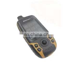
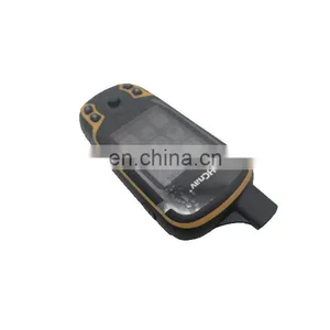
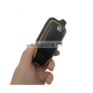
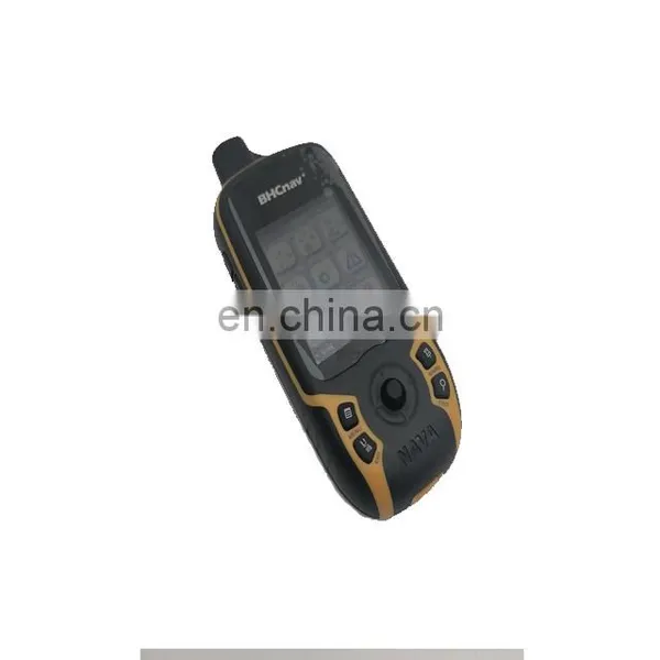
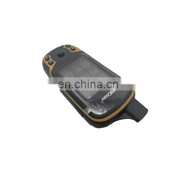
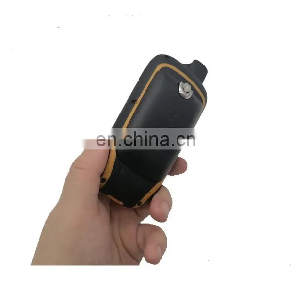
NAVA Land Measurement is functioned with Area & Length & Circumference & Price setting & Total Fare Calculation. It measured the length, width and area of the farmland through satellites, and also has the function of unit price set and fare calculating. The product has been widely used in many agricultural activities for its creative handheld design and high performance and price ratio, NAVA land measurement GPS is a very helpful tool for users' outdoor land measurement. It enjoys high reputation from users especially from forestry and agriculture.
Features of GPS land measurement
1 |
Automatic farmland area&length measurement |
2 |
Able to set the unit-price,having unit-price memory facility |
3 |
Farmland area data showing in terms of square meter or acres |
4 |
Total working price displaying after area measurement (Total price = area*unit-price )
|
5 |
Current satellite signal intensity & measurement accuracy showing |
6 |
Current satellite signal positing precision showing |
7 |
Current battery electric quantity showing |
8 |
Schematic Diagram showing |
9 |
Press to measure farmland og any shape |
Professional GPS for Land Measurement Specifications
•48 channels,high sensitive GPS receiver
•Stand-alone:2.5m(GPS only)
•Readable under strong sunlight
•IPX7
•2*AA battery power supply
•Display:2.2",mono color
•Work:-20℃-+60℃
Storage:-40℃-+85℃
•Dimension:120*57*30*mm
•Accurate,Reliable and Rugged
•Easy to operate
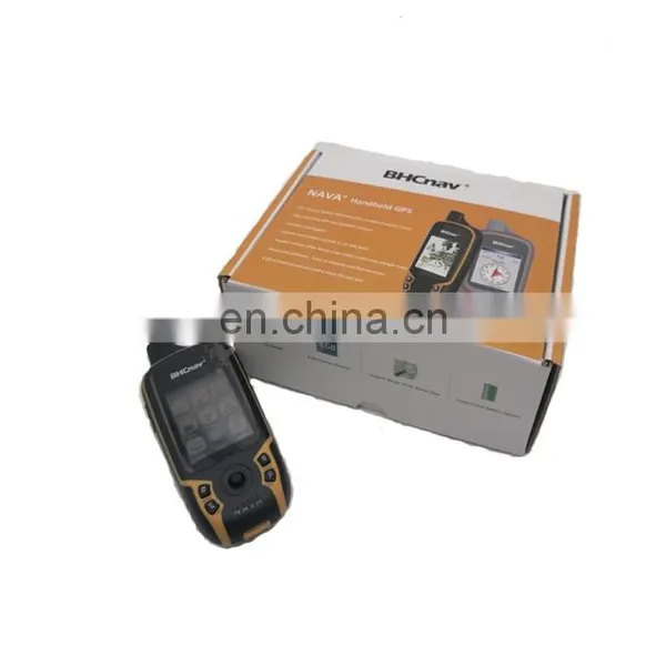
NAVA110 Professional GPS for Land Measurement are come with a carton protection case.
DALIAN TAIJIA TECHNOLOGY CO.,LTD
Address:NO.5 Shanshui Yuan, High-tech Industrial Zone Dalian, China 116033
Email ndt at
Skype:tmeasurement04
Whatsapp:+86 15998577470
Phone: +86-411-39685079
Multi functional Rebar Detector
HT225E digital concrete test hamnmer
YFD-300 Ultrasonic flaw detector

Send Inquiry to This Supplier

You May Also Like
-
Endress+Hauser E+H Compact Conductivity Device Smartec CLD18-BGGENegotiableMOQ: 1 Piece
-
Universal Testing MachineNegotiableMOQ: 2500 Pieces
-
Hydraulic Plastic Flange Connections Cover Plugs SHF SeriesUS$ 0.22 - 0.28MOQ: 2500 Pieces
-
HST Spring Dyno Friction Leakage Fatigue Testing MachineUS$ 5000 - 10000MOQ: 1 Set
-
Gates 550C 550U U550 U-550 U508 U-508 Japan Unitta U-550 Belt Tension Meter New U-508 Belt Tension Meter Upgraded Version U550US$ 1 - 900MOQ: 1 Piece
-
Analytical Balanace.scale ,weichengya Laboratory SupplierUS$ 10 - 35MOQ: 10 Sets
-
Smart MD-3051 Online Density Meter With 4-20mA OutputUS$ 2,380 - 2,500MOQ: 1 Unit
-
5W-300W Sun Simulator Watt Testing 30% Off / Xenon Lamp Sun Simulator Free Sent / Sun Simulator TestingUS$ 7,500 - 10,000MOQ: 1 Set
-
New Design Measuring Meter With Best PerforanceUS$ 1,000 - 1,200MOQ: 1 Piece
-
XK-1 Rotary Switch Life TesterNegotiableMOQ: 1 Set


