








 Contact Platform Support
 Help Center
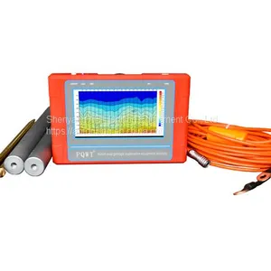
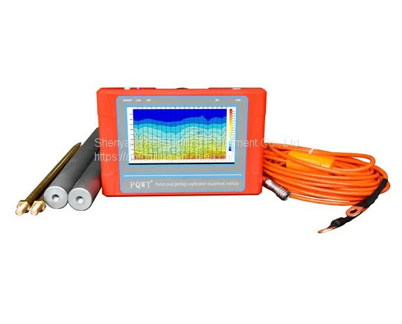
Automatic Mapping Water Detector PQWT-TC150



Related Products
PQWT-TC150 series automatic mapping water detector is based on the Earth's electromagnetic field as the field source, based on the difference in the conductivity of different underground geological structures, and by studying the variation law of the electric field components at different frequencies to study the geological structure and changes, to find groundwater resources by scientific method. Changes in geological structure are displayed in real-time through multiple curves. Automatic form mapping geological profile by one key operate easily, get rid of complicated computer graphics. The site can quickly understand the geological structure through the automatic mapping curve and profile, and analyze specific information such as aquifers, fractures, faults, and karst caves. The instrument abt machine tools is widely used in the rapid analysis of geological structure changes in different terrains such as plains, hills, mountains, plateaus, and basins to determine well locations, aquifers, and aquifer depth.

Send Inquiry to This Supplier

You May Also Like
-
 Automatic Mapping Cave DetectorNegotiableMOQ: 1 Unit
 -
Drilling BitNegotiableMOQ: 1 Unit
-
Drilling JumboNegotiableMOQ: 1 Unit
-
HammerNegotiableMOQ: 1 Unit
-
Hole Opener BitNegotiableMOQ: 1 Unit
-
Skid-Mounted Diesel Air CompressorNegotiableMOQ: 1 Unit
-
SD Series High Pressure Drill BitCNY 30 - 2000000MOQ: 1 Piece
-
Skid-Mounted Diesel Air CompressorCNY 30 - 2000000MOQ: 1 Piece
-
SP Series High Pressure Drill BitCNY 30 - 2000000MOQ: 1 Piece
-
Symmetric Overburden Drilling EquipmentCNY 30 - 2000000MOQ: 1 Piece


